

Chittagong Hill Tracts
Where mist-covered hills meet tribal heritage 🌄
⚠️ SAFETY WARNING: Due to ongoing ethnic tensions, sporadic violence, and kidnapping risks in remote areas, government agencies (including the USA, UK, and Canada) advise travelers to avoid all travel or exercise extreme caution in the Chittagong Hill Tracts. Foreign tourists require special entry permits. Families are strongly urged to consult their own government's official travel advisory before considering a trip, as circumstances and risk assessments vary.
For those who obtain necessary permits and travel with reputable guides, the Chittagong Hill Tracts (CHT) reveal a landscape unlike anywhere else in Bangladesh. While the rest of the country is largely flat delta, the CHT is defined by steep, jungle-covered hills, rushing rivers, and deep valleys. The region is home to diverse indigenous groups, including the Chakma, Marma, and Tripura people, each maintaining distinct languages, dress, and bamboo-based architecture that offer a fascinating cultural education for older children.
Rangamati is the most accessible gateway, centered around the magnificent Kaptai Lake. Families can hire colourful wooden boats to cruise the calm waters, stopping at the iconic Hanging Bridge or visiting Shuvolong Waterfalls during the monsoon season. The lake is dotted with small islands and framed by blue-green hills, providing a peaceful escape from the chaotic traffic of major cities. Lunch at a local tribal restaurant offers the chance to try 'bamboo chicken', a regional delicacy cooked inside fresh bamboo shoots.
Further south, Bandarban offers wilder scenery and higher peaks. The Golden Temple (Buddha Dhatu Jadi), perched high on a hill, features ornate architecture and panoramic views that captivate visitors of all ages. While trekking deep into the hills is generally not suitable for young families due to safety and terrain, accessible viewpoints like Nilgiri Resort allow you to walk above the clouds. Exploring the Sangu River by boat reveals the daily life of river communities against a backdrop of towering cliffs.
Travel here requires significant planning. Permits must be arranged weeks in advance, and travelers should stick to main towns and established tourist routes. The winter months (November to February) provide cool, pleasant weather ideal for sightseeing, while the monsoon brings lush greenery but potential landslides.
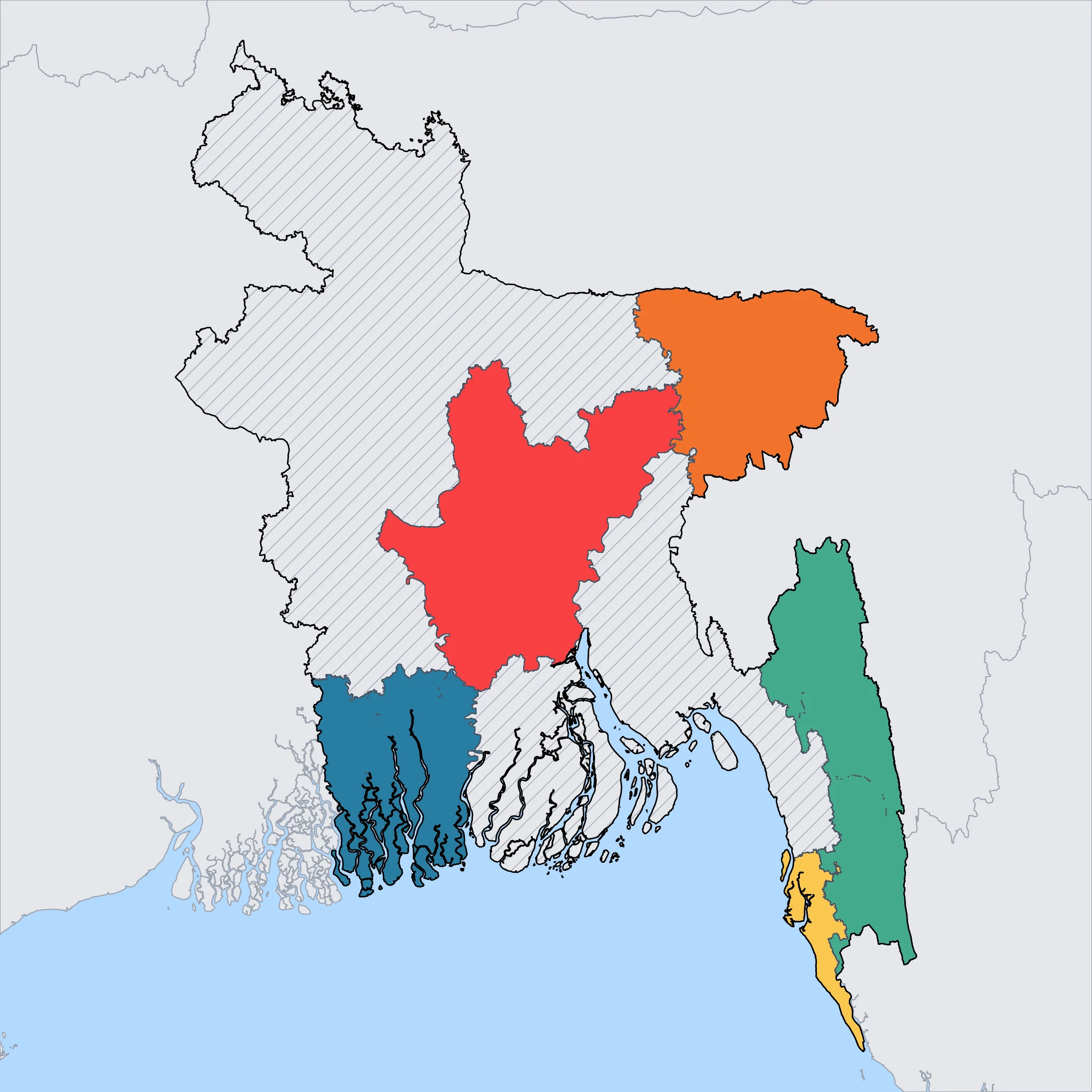
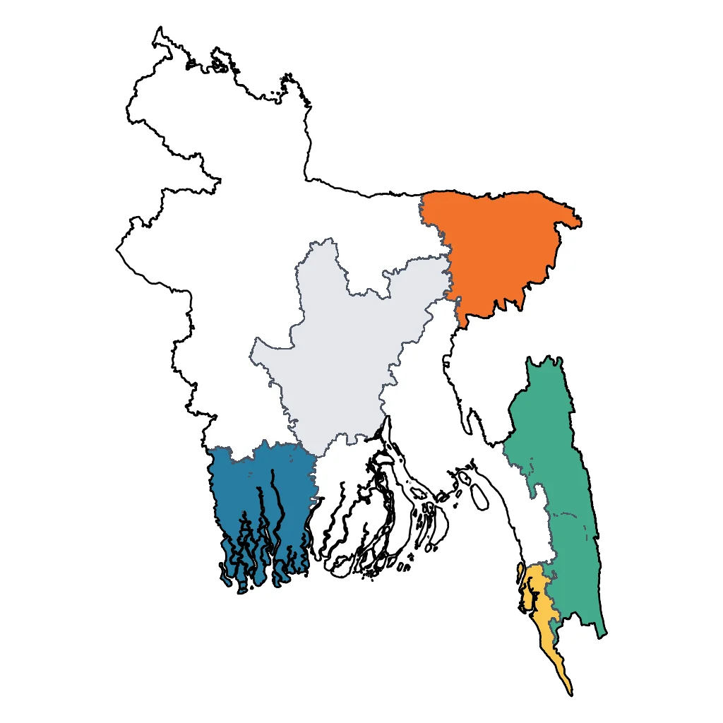
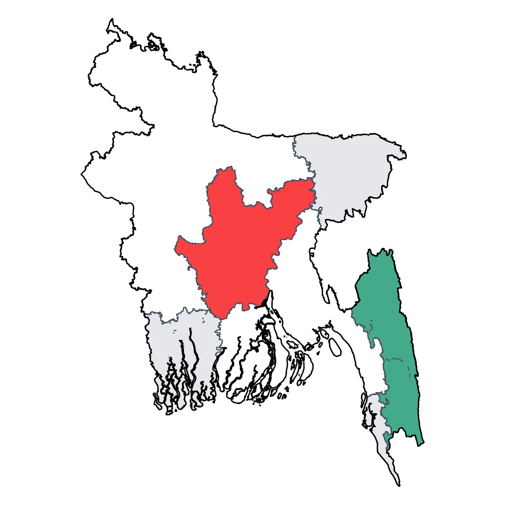
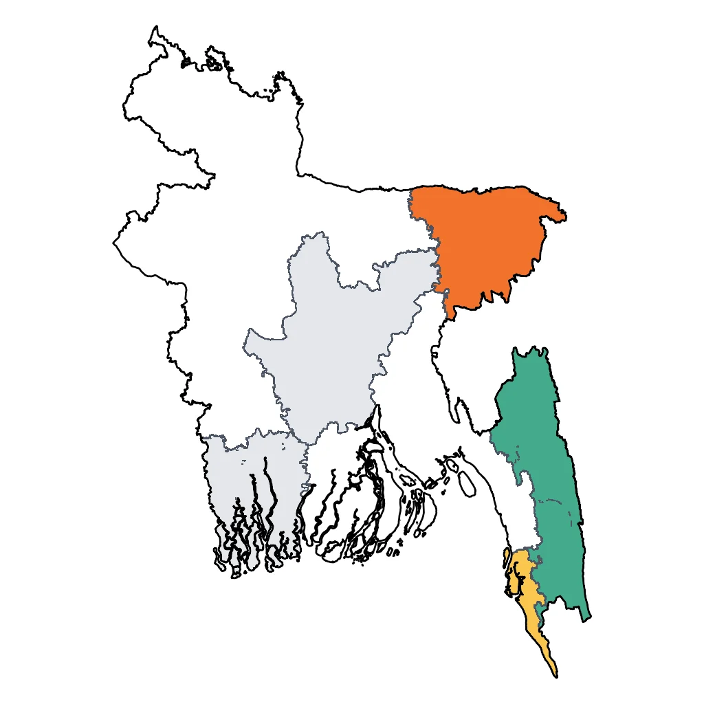
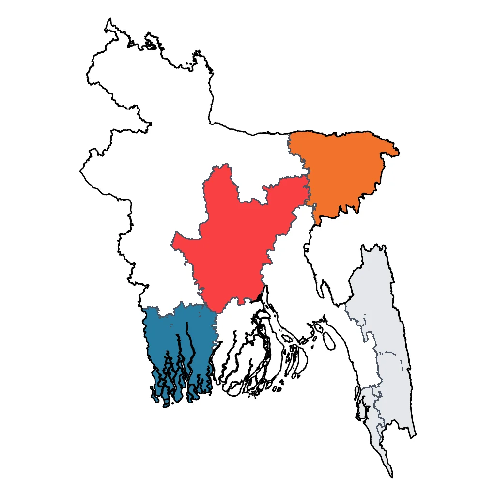
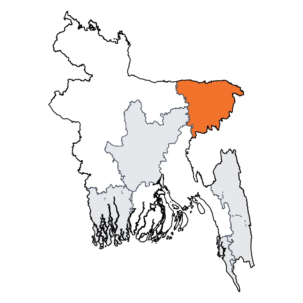
Click a region to explore

Activities & Best Times
Hiking, wildlife, outdoor exploration, ecotourism
International calibration: While offering genuine trekking through indigenous landscapes, the region has minimal infrastructure for international adventure tourists, access restrictions (permits required), and limited trail networks compared to Nepal, Peru, or even neighboring Myanmar. No editorial attraction evidence exists for this region. 'good' better reflects the raw but undeveloped adventure offering.

Urban tourism, museums, historical sites, architecture
Provides deep cultural immersion into the unique traditions and architecture of 13 indigenous groups, such as the Chakma and Marma. Peak months align with the dry season for comfortable village visits; extreme humidity and heavy rains during summer months make navigating the rugged cultural sites difficult for international families.

Events, celebrations, seasonal attractions
Home to the Boisabi/Sangrai festivals in mid-April, offering a world-class display of indigenous heritage, traditional sports, and water rituals. April is peak for these specific celebrations despite rising heat; other months lack globally distinctive cultural events of this scale.

Scenic drives, countryside tours, route-based travel
The scenic route to high-altitude points like Nilgiri offers breathtaking panoramas and a sense of raw adventure through winding hill roads. Winter provides the best visibility and safe road conditions; the region's intense monsoon creates dangerous driving conditions and poor visibility due to heavy cloud cover and torrential rain.

Learning experiences, scientific sites, historical education
Significant anthropological and ecological value for families interested in indigenous rights and unique biodiversity. While lacking world-class museum infrastructure, it offers raw learning experiences during the dry peak season when remote tribal areas are safely accessible.

Spa retreats, wellness centers, peaceful getaways
Boutique hillside resorts provide peaceful getaways with panoramic views, though they lack international-standard luxury spa facilities. The cooler, dry months (Nov-Mar) are optimal for outdoor relaxation, whereas extreme heat and humidity from April onwards significantly degrade the experience.
Attractions (36 total)
Road Trips & Scenic Drives
Bandarban-Nilgiri Scenic Drive
Bandarban
48km paved ridge road (2 hours). This route traverses the Chimbuk Hill range, one of the highest in the country. Highlights include the Chimbuk Hill viewpoint, Shoilo Propat waterfall, and the Nilgiri resort area, famous for its views of clouds floating below the peaks and Mru tribal villages.
Visit website →Sajek Valley Road
Khagrachhari
70km paved hilly road (3 hours). A popular touring route that winds through the remote hills of Khagrachhari and Rangamati districts. Highlights include the Bagaihat forest area, the Kasalong River crossing, and the dramatic ascent to the Sajek Valley ridge which sits at 1,800ft on the Indian border.
Visit website →Thanchi-Alikadam Road (Dim Pahar)
Thanchi
33km paved mountain pass (1.5-2 hours). Known as the highest motorable road in Bangladesh, reaching an altitude of 2,500ft at Dim Pahar (Egg Hill). Key highlights include the hairpin turns, steep gradients through the Arakan Mountains, and panoramic vistas of the Sangu River valley.
Visit website →Rangamati-Kaptai Lakeside Road
Rangamati
35km paved lakeside drive (1 hour). This scenic route follows the winding eastern bank of Kaptai Lake, the largest man-made lake in Bangladesh. Highlights include continuous views of the turquoise water, emerald green hills, forest plantations, and proximity to the Kaptai Dam and National Park.
Visit website →Landmark / Monument / Iconic Urban Attraction
Buddha Dhatu Jadi
Bandarban
Known as the Golden Temple, this hilltop Buddhist shrine features stunning Burmese architecture and panoramic mountain views.
Alutila Mysterious Cave
Khagrachhari
A natural 100-meter long dark stone cave that visitors can explore using traditional bamboo torches, located within a lush park.
Chakma Rajbari
Rangamati
The historic palace of the Chakma Circle Chief, representing the heritage and traditional administration of the local indigenous community.
Jhulanta Bridge
Rangamati
An iconic 335-foot long suspension bridge over the turquoise waters of Kaptai Lake, serving as the primary symbol of Rangamati tourism.
Visit website →Nilachal
Bandarban
An iconic viewpoint on a 2,000-foot high hill offering a sweeping 360-degree view of the Bandarban landscape and evening sunsets.
Historic Town / Village / Cultural Area
Buddha Dhatu Jadi (Golden Temple)
Bandarban
A stunning golden Buddhist temple atop a hill, showcasing intricate Arakanese architecture and offering panoramic views of the surrounding wilderness.
Rajban Bihar
Rangamati
One of the largest and most significant Buddhist monasteries in Bangladesh, this complex serves as a center for meditation and indigenous cultural practice.
Chakma Rajbari (Royal Palace)
Rangamati
The historic residence of the Chakma King, located on an island-like area that provides insight into the history of the largest ethnic circle in the Hill Tracts.
Tribal Cultural Institute Museum
Rangamati
A museum dedicated to preserving and showcasing the unique cultural heritage, traditional dress, and historical artifacts of the region's indigenous groups.
Natural Feature / Scenic Site
Kaptai Lake
Rangamati
Bangladesh's largest man-made lake, perfect for family boat trips amidst serene hills and small island villages.
Nilgiri Mountains
Bandarban
One of the highest peaks in Bangladesh, managed by the military, offering a safe and stunning viewpoint above the clouds.
Sajek Valley
Baghaichari
Known as the 'Queen of Hills', this high-altitude destination offers breathtaking views of rolling clouds and lush green mountains.
National Park / Nature Reserve
Kaptai National Park
Rangamati
A lush tropical rainforest conservation area on the banks of Kaptai Lake, offering scenic forest trails and opportunities for birdwatching.
Alutila Eco Park
Khagrachhari
A natural hill park famous for its 100-meter long mysterious dark stone cave and stunning viewpoints overlooking the Khagrachhari valley.
Sangu Matamuhuri Wildlife Sanctuary
Bandarban
A remote and pristine protected area known for the winding Sangu River, dramatic limestone cliffs, and untouched mountain rainforests.
Hiking & Cycling Routes
Keokradong Peak Trek
Ruma
A 14km moderate-to-challenging trek starting from Boga Lake to the peak of Keokradong. Typical duration is 2 days including the ascent and return. Elevation gain is approximately 600m from the starting lake. Mandatory local guides are required. Equipment can be sourced via Dhaka-based trekking clubs like 'Bangla Mountaineering and Trekking Club'.
Visit website →Bandarban to Thanchi Road Cycling Route
Bandarban
A challenging 80km road cycling route featuring the famous 'Dim Pahar' (Egg Hill), the highest motorable pass in the country. The route involves steep gradients and over 1,500m of cumulative elevation gain. Typical duration is 1-2 days. Bike rentals are primarily available in Dhaka from shops like CycleLife Exclusive (cyclelifebd.com).
Visit website →Tajingdong (Bijoy) Peak Trail
Ruma
A challenging 22km trek often combined with the Keokradong route. Typical duration is 3-4 days from Ruma Bazar. The trail features significant elevation changes through tribal villages and dense vegetation. Elevation gain is roughly 800m. Requires official permits and local guide accompaniment from the Ruma Army Camp.
Visit website →Amiakhum and Satvaikhum Trail
Thanchi
A challenging 25km multi-day trek leading to the Amiakhum waterfall. Includes river crossings, steep bamboo-laden slopes, and traditional bamboo rafting through deep canyons. Typical duration is 3 days. Elevation gain is moderate but terrain is slippery and technical. Managed by local tribal guides.
Visit website →Saka Haphong (Mowdok Mual) Trek
Thanchi
An expert-level 45km multi-day wilderness trek to the highest point in Bangladesh. Typical duration is 4-5 days through remote jungle and riverbeds. Total elevation gain exceeds 1,000m. This route is extremely remote with no cell service. Local guides from Thanchi are mandatory for security and navigation.
Visit website →Botanical Garden / Formal Gardens
Meghla Tourism Complex
Bandarban
A well-maintained recreation area featuring terraced formal gardens, twin suspension bridges, and a serene lake perfect for family outings.
Polwel Park
Rangamati
A premier lakefront park with sophisticated landscaping, thematic gardens, and paved walkways offering panoramic views of Kaptai Lake.
Visit website →Farm Park / Petting Zoo / Rural Experience
Meghla Tourist Complex
Bandarban
A major family destination featuring a mini-zoo with deer and birds, hanging bridges over a lake, and boat rides in the lush hills.
Horticulture Heritage Park
Khagrachhari
A scenic park maintained by the district administration featuring regional fruit orchards, traditional rural structures, and family-friendly landscaped gardens.
Munlai Village
Ruma
A premier community-based eco-tourism village where visitors experience authentic rural life, traditional farming, and the culture of the Bawm people.
Castle / Palace / Historic Site
Rajvana Vihara
Rangamati
One of the largest and most significant Buddhist monasteries in Bangladesh, featuring peaceful multi-tiered pagodas and a serene atmosphere near Kaptai Lake.
Chakma Rajbari (Chakma Royal Palace)
Rangamati
The historic residence of the Chakma King, this site offers visitors a rare glimpse into the traditional administrative heritage and culture of the indigenous Chakma people.
Panichari Shantipur Aranya Kutir
Khagrachhari
A significant religious and historic site home to South Asia's largest standing Buddha statue, set within a tranquil forest environment.
Adventure Park / Outdoor Activity Center
Rangamati Parjatan Complex
Rangamati
The central tourism hub of the district featuring the famous 335-foot hanging bridge and serving as the primary base for boat tours of Kaptai Lake.
Visit website →Alutila Adventure Park
Khagrachhari
A rugged outdoor park featuring a 100-meter natural stone cave for exploration alongside watchtowers that provide expansive views of the surrounding hills.
Theme Park / Amusement Park
Heritage Park
Khagrachhari
A cultural-themed recreational park showcasing traditional indigenous architecture and providing scenic views of the Chengi River valley.
Water Park / Splash Park / Aquatic Centre
Aranyak Water Park
Rangamati
An army-managed aquatic center featuring the Happy Island water park with multi-colored slides and swimming pools overlooking Kaptai Lake.
Visit website →