
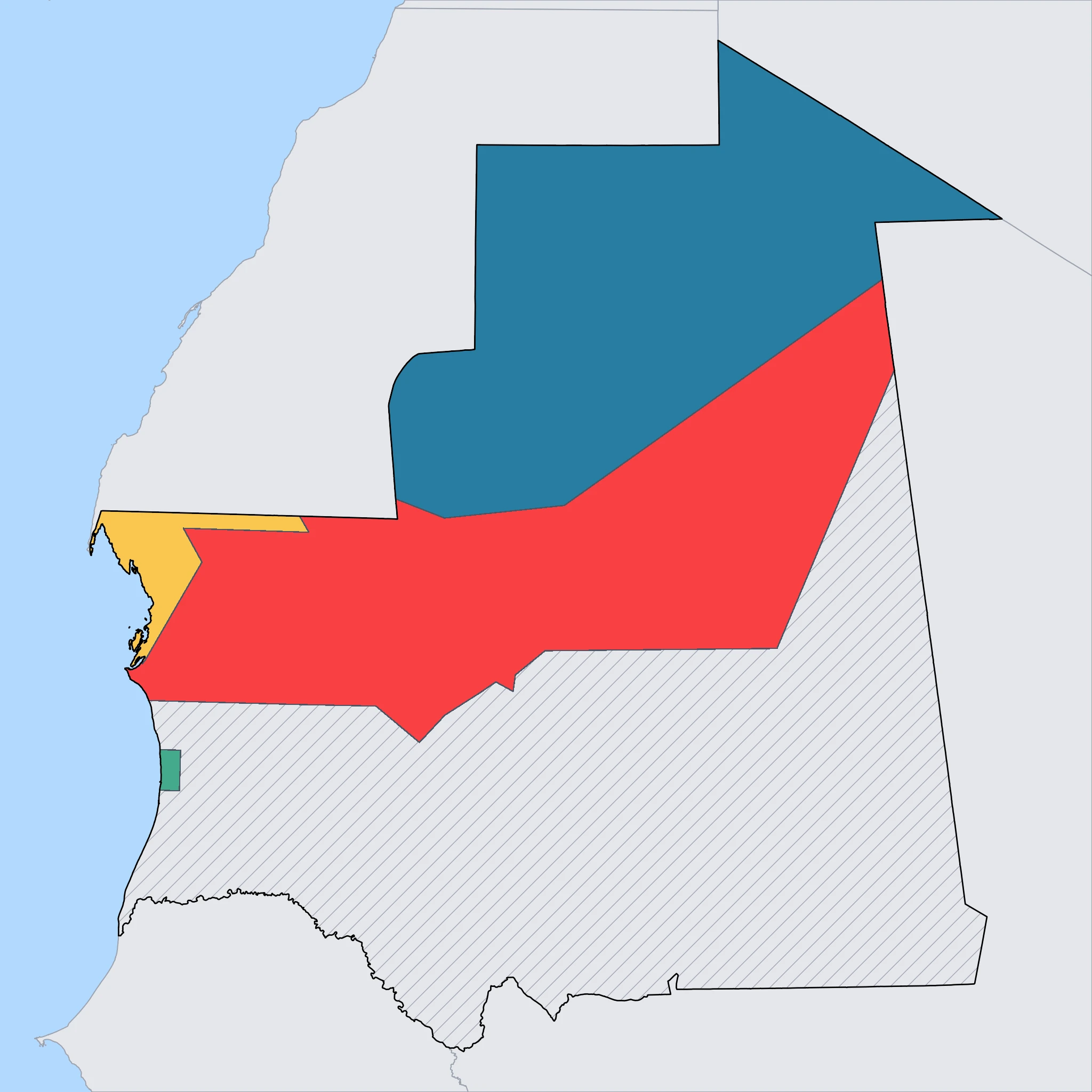
Saharan North
Iron mountains and vast desert frontiers 🚂⛰️
⚠️ SAFETY WARNING: Due to high risks of terrorism, kidnapping, and proximity to volatile border zones, government agencies (including the US, UK, CA, AU, and NZ) advise travelers to AVOID ALL TRAVEL to this region. The area borders Algeria and Western Sahara and is heavily militarized. Families are strongly urged to consult their own government's official travel advisory before considering a trip, as circumstances and risk assessments vary.
The Saharan North, specifically the Tiris Zemmour region, is one of the most hostile and geographically imposing environments in Africa. It is a land of stark contrasts, where the golden sands of the desert give way to black rocky mountains rich in minerals. The region is dominated by the industrial town of Zouerat, the center of the country's iron ore mining industry. This is the starting point for the famous iron ore train, which stretches up to 2.5 kilometers long and transports heavy loads across the desert to the coast at Nouadhibou.
One of the few natural landmarks in this vast emptiness is Ben Amera, rising dramatically from the flat desert floor. It is considered the third-largest monolith in the world, a single massive block of black granite. Nearby lies Aicha, a smaller monolith, creating a surreal, alien landscape that attracts extreme overlanders and geologists. The isolation here is absolute, with hundreds of kilometers of nothingness separating the few settlements.
For families, this region presents significant logistical and safety challenges beyond the travel advisories. The climate is extreme, with scorching daytime heat and limited water resources. There is virtually no tourism infrastructure—no hotels, restaurants, or medical facilities—outside of the mining company's compounds in Zouerat, which are generally not open to casual tourists. While the geological features are impressive, the extreme remoteness and security risks make this area unsuitable for standard family tourism at this time. The descriptions of the iron train and the monoliths are often best enjoyed through documentaries and books rather than physical travel.
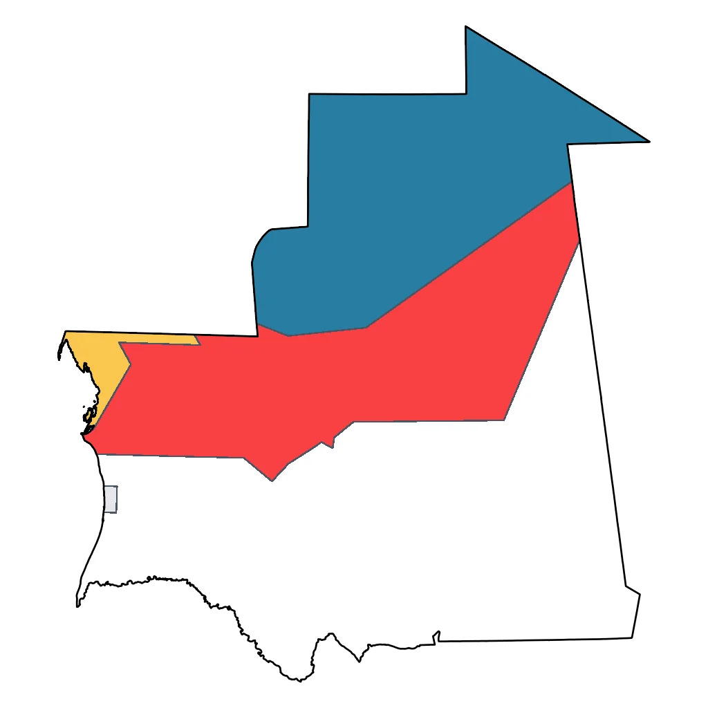
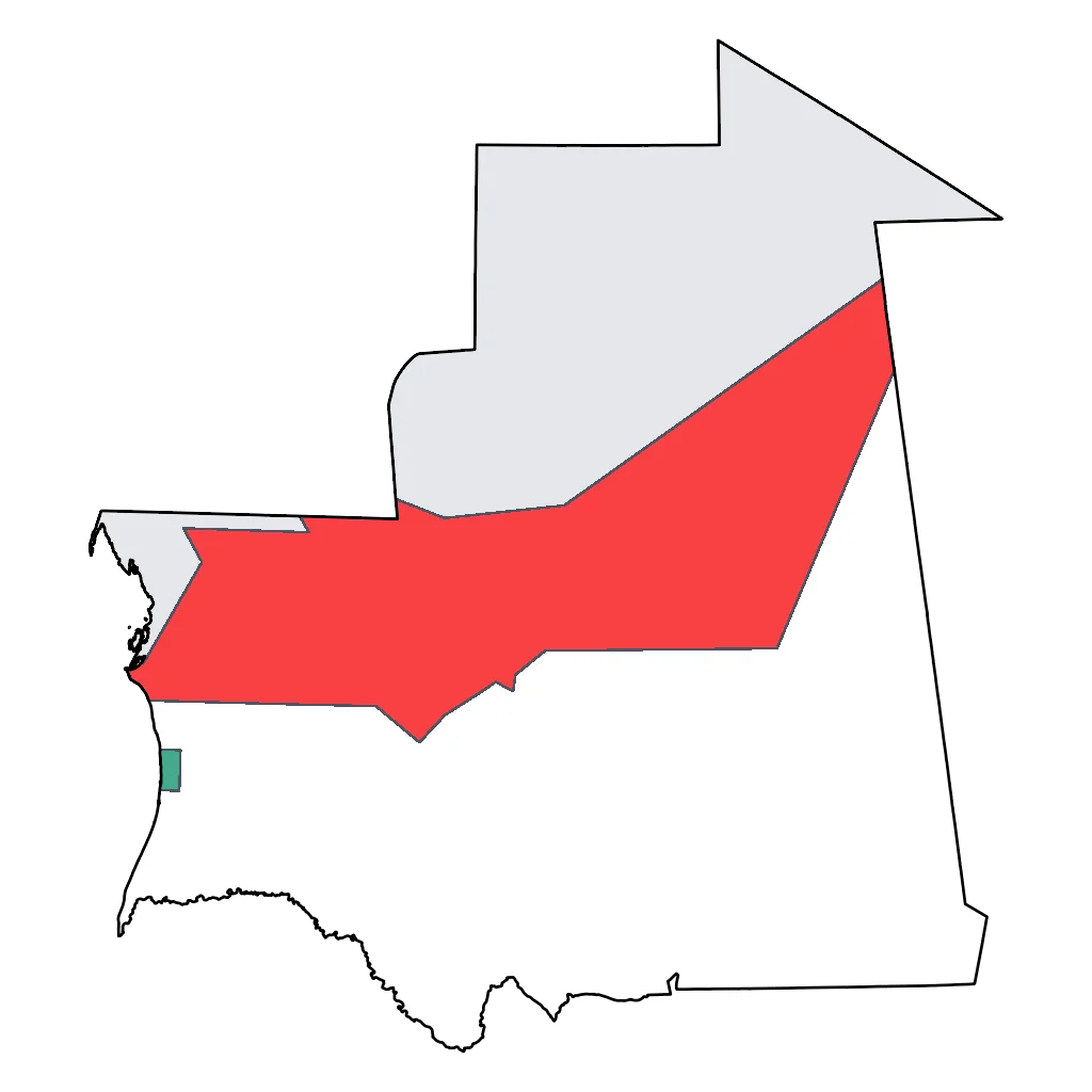
Click a region to explore
Activities & Best Times
Hiking, wildlife, outdoor exploration, ecotourism
No editorial attractions exist in the database for this region. While the iron ore train and Ben Amera monolith are genuinely notable, the total lack of supporting evidence in the system and the extreme remoteness/danger of the region warrant a downgrade to 'good'. The experience is compelling but unsubstantiated and accessible only to the most hardy travelers.


Learning experiences, scientific sites, historical education
Offers profound learning opportunities regarding Saharan geology and the immense logistical feats of the industrial iron corridor. The cooler months (Nov-Feb) are the only viable window for visiting ship graveyards and monoliths safely; extreme summer temperatures make educational site visits hazardous.

Scenic drives, countryside tours, route-based travel
A starkly beautiful destination for authentic 4x4 desert expeditions through a rugged frontier landscape. Optimal conditions occur in winter when visibility is high and temperatures are mild; the shoulder months are manageable but hot, while the peak summer heat (reaching 43°C) makes long-distance desert transit dangerous.

Sport tourism, fitness activities, active recreation
Features exceptional desert trekking and climbing on world-renowned monoliths for active, self-sufficient families. Activity is strictly seasonal, with winter providing the necessary climate for physical exertion; summer heat renders active recreation impossible.


Urban tourism, museums, historical sites, architecture
An authentic but gritty look at Saharan industrial culture in Zouérat, far removed from commercial tourism. While highly authentic, the lack of traditional cultural infrastructure makes it a marginal choice for those not seeking extreme industrial history.

Attractions (9 total)
Natural Feature / Scenic Site
Ben Amera Monolith
Choum
One of the world's largest single-stone monoliths, this massive granite peak rises dramatically from the flat Saharan desert floor.
Aïcha Monolith
Choum
A smaller companion to Ben Amera, this site is famous for the various sculptures carved into its granite base by international artists in 1999.
Sebkha de Ijill
Fderik
A vast white salt pan where traditional salt extraction still takes place, offering a shimmering and otherworldly landscape in the desert.
Kediet ej Jill
Zouerat
Mauritania's highest peak, this dark and rugged mountain is composed almost entirely of iron ore, creating a striking magnetic landscape.
Hiking & Cycling Routes
Iron Ore Railway Cycling Route
Zouerat
700km expert-level multi-day cycling route following the world's longest train line from the mining hub of Zouerat to the Atlantic coast at Nouadhibou. The route is typically completed in 6-10 days and is mostly flat but extremely challenging due to deep sand, heavy winds, and Saharan heat. No local bike or equipment rentals are available in Zouerat; cyclists must be fully self-supported with fat bikes and high-capacity water storage. Navigation is guided by the railway tracks.
Visit website →Ben Amera Monolith Ascent
Ben Amera
5km challenging day hike ascending the world's third-largest monolith, a massive black granite outcrop. The hike takes approximately 3-4 hours round-trip with an elevation gain of roughly 400m over steep, smooth rock surfaces that require shoes with excellent grip. There are no marked paths; hikers must find the most accessible ridges. No equipment rentals or facilities are available at the site; visitors usually arrive via the Iron Ore Train or 4x4 from Choum.
Visit website →Road Trips & Scenic Drives
The Sahara Iron Route (N1 North)
Atar
280km paved desert highway (4-5 hours) connecting the Adrar plateau to the Tiris Zemmour mining region. The route features vast Saharan panoramas, the mountain passes near the Adrar border, and runs parallel to the world's longest train track at Choum. Key stops include the historic mining town of Fderik and the iron-ore capital of Zouerat.
Visit website →The Monolith Trail (Piste de Ben Amera)
Choum
105km desert track (3-4 hours, 4WD required) following the SNIM railway line from Choum. This iconic route leads to Ben Amera, the world's third-largest monolith, and the nearby sculpted rocks of Ben Aicha. It offers some of the most dramatic desert scenery in Northern Mauritania, passing through ancient caravan landscapes.
Visit website →Landmark / Monument / Iconic Urban Attraction
Kedia d'Idjil
Zouerat
The highest peak in Mauritania, this mountain is composed almost entirely of iron ore and possesses a magnetic field strong enough to disrupt navigation.