
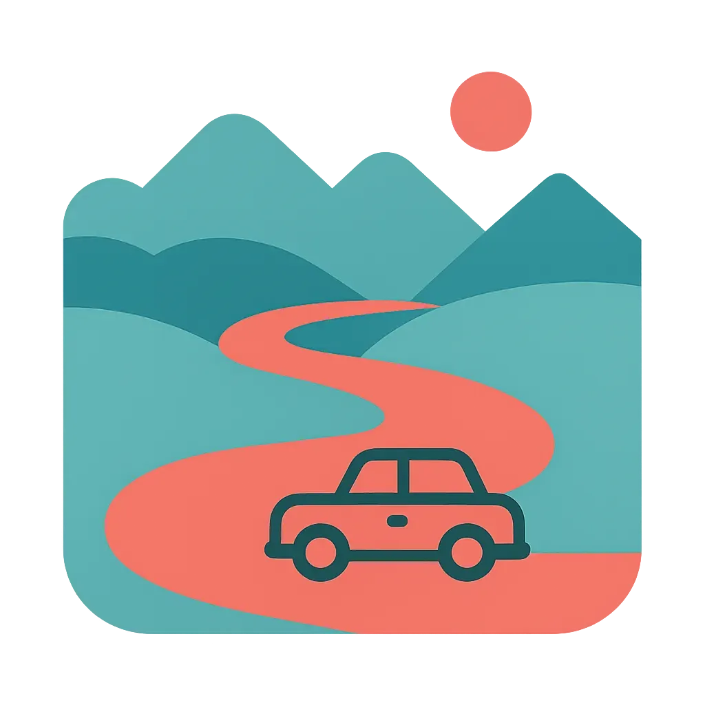
Central & Eastern Bhutan
The spiritual heartland where legends come alive 🏔️
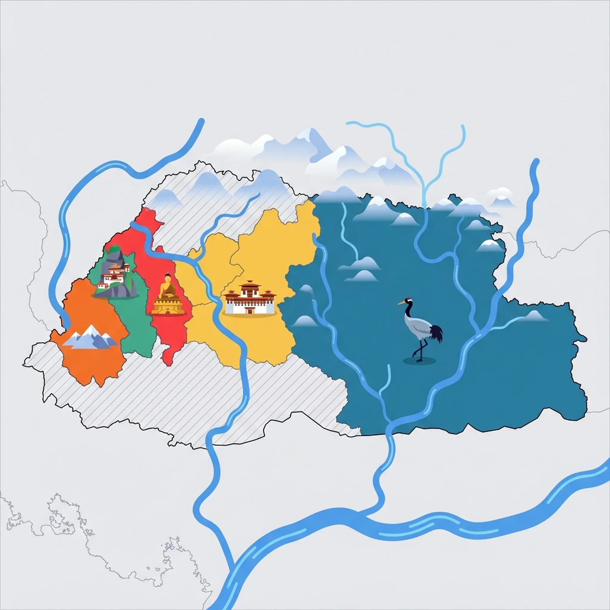
Click a region to explore
Safety Note: While Bhutan is exceptionally safe, this region involves long drives on winding mountain roads that can be challenging for children prone to car sickness. Medical facilities are more basic here than in the west; ensure you carry a comprehensive first-aid kit and necessary medications.
Overview
Central and Eastern Bhutan represents the spiritual and historical heart of the Kingdom, a place where the landscape feels softer, the legends more vivid, and the pace of life even more rhythmic than in the bustling west. For families willing to make the journey, this region offers an immersion into a Bhutan that feels untouched by time. The journey usually begins in Trongsa, perched dramatically on a ridge, before moving into the four sweeping valleys of Bumthang. These valleys—Chokhor, Tang, Chhume, and Ura—are often compared to Switzerland due to their broad, pine-forested vistas and pastoral beauty, making them excellent for gentle family hikes that aren't as vertical or exhausting as those in the west.
Culturally, this is where many of Bhutan's greatest saints and treasure revealers lived, and the stories associated with the landscape are sure to capture a child's imagination. From footprints left in solid rock to lakes concealing sacred treasures, the geography here is woven with magic. As you travel further east towards Mongar and Trashigang, the terrain becomes wilder, with lemon grass-scented slopes and plunging gorges. For families, the appeal lies in the intimacy of the experience; crowds are non-existent, and the interaction with locals—particularly in the weaving districts of the east—is genuine and warm. It is a place to disconnect from screens and reconnect with nature and folklore.
Key Attractions
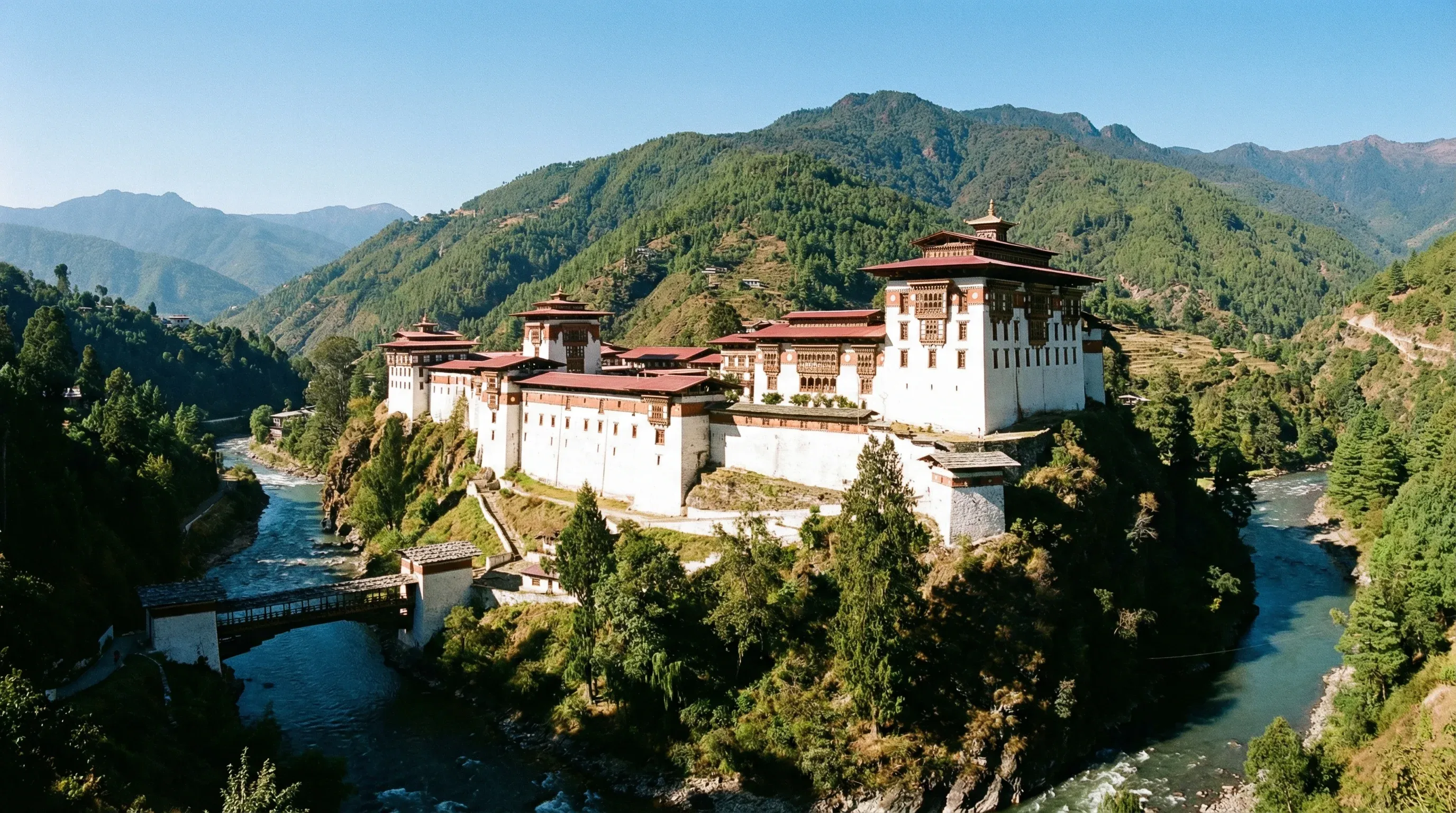
The region is dense with sacred sites that are surprisingly accessible for children. Trongsa Dzong is an absolute masterpiece of architecture; appearing to grow directly out of the mountain ridge, its sheer scale and labyrinthine corridors are fascinating for kids to explore. It commands the view over the Mangde Chhu river and historically controlled trade between east and west. Further into Bumthang, the Mebar Tsho (Burning Lake) offers a mystical experience. It is not a lake but a deep pool in the river where, according to legend, the saint Pema Lingpa submerged with a burning butter lamp and emerged with it still lit, holding a sacred scripture. The walk down is short, but parents should hold hands tightly near the water's edge.
For a mix of history and spiritual grandeur, Jambay Lhakhang and Kurjey Lhakhang are essential stops. Kurjey is named after the 'body print' (kurjey) of Guru Rinpoche preserved in a cave inside the oldest temple. The large cypress tree outside is said to have sprouted from the Guru's walking stick. Between the valleys, the drive crosses the spectacular Phrumsengla National Park, a biodiversity hotspot. While spotting a red panda is rare, the cloud forests and rhododendron gardens (blooming in spring) create a fairy-tale atmosphere that breaks up the long drive to the east.
Practical Advice
The best time to visit is spring (March–May) for flowers or autumn (September–November) for clear mountain views and festivals. Winters here are colder than in Thimphu, with Bumthang often seeing snow, so heavy woolen layers are essential if traveling Dec–Feb. Allow plenty of time for travel; what looks like a short distance on a map can take hours due to winding roads.
Food & Drink
Typical meal times: Breakfast is typically 7:30 am to 9:00 am, lunch 12:30 pm to 1:30 pm, and dinner 7:00 pm to 8:30 pm.
Typical meal costs: Meals are often included in tourist packages. If paying independently, a meal costs BTN 400–800 (approx. $4.80–9.60 USD / €4.40–8.80 EUR).
Dietary requirements: Vegetarian food is the norm and widely available. Gluten-free is possible (rice-based dishes), but notify guides in advance. Dairy is heavily used in local dishes.
Signature dishes:
- Puta – Traditional buckwheat noodles from Bumthang, often served cold with a spicy Sichuan pepper sauce or fried with mustard oil.
- Khule – Buckwheat pancakes, a hearty breakfast staple in Bumthang, usually eaten with chili sauce or butter tea.
- Ema Datshi – The national dish of chili and cheese, though in the central region, you might find versions with fiddlehead ferns or mushrooms.
Why this score?
This region is characterized by high mountain passes, dense forests, and the challenging Trans Bhutan Trail, making it one of the most rugged parts of the country. Families must endure long, winding drives and basic amenities, offering a true sense of exploration in the Phrumsengla National Park and the remote eastern districts.
Why this score?
Medical facilities in the central and eastern districts are extremely basic, with limited specialized care or English-speaking staff outside of district hospitals in Jakar or Mongar. Serious medical emergencies typically require long-distance transport back to Thimphu or medical evacuation, which is complicated by the difficult terrain.
Why this score?
While rich in spiritual sites like the Bumthang valleys, this region receives significantly fewer international visitors due to its remote location and the long travel times required on the Lateral Road. Most tourists limit their visits to western Bhutan, leaving the textile centers of Trashigang and the wilderness of Phrumsengla National Park for niche travelers.
While the daily Sustainable Development Fee (SDF) applies nationwide, on-the-ground costs in Central and Eastern Bhutan are slightly lower than the west. However, transport costs are higher due to fuel. Guest houses are simpler. Budget for extra snacks/textiles: BTN 1,500–4,000 (approx. $18–48 USD / €16–44 EUR) for high-quality wool items.
Getting Here & Around
Getting Here
- Airports – Bathpalathang Airport in Bumthang receives domestic flights from Paro (approx. 35 mins). This is the most family-friendly option to avoid the long drive. Yonphula Airport serves the far east (Trashigang).
- Driving – The lateral highway connects the region. Driving from Thimphu to Bumthang takes 8–10 hours; it is best broken up with an overnight stay near Trongsa Dzong.
Getting Around
- Car – A dedicated vehicle with a driver is mandatory for tourists in Bhutan. The roads winding through Phrumsengla National Park are incredibly scenic but sinuous; request your driver to go slow if kids suffer from motion sickness.
- Walking – The Bumthang valleys are wide and flat, making them the best place in Bhutan for casual family walks between temples like Jambay Lhakhang and Kurjey Lhakhang.
Nearby Airports (3 airports)
Bathpalathang Airport
BUTJakar
Gelephu Airport
GLUGelephu
Yongphulla Airport
YONTrashigang
View full flight map for Bhutan →
Official Links

Packing List
The Lateral Road is notoriously winding with thousands of curves.
You must remove shoes at every temple; laces become frustrating quickly.
Temple floors are cold stone, even in summer; you cannot wear shoes inside.
Street lighting is minimal in rural valleys and power outages can occur.
Roads are famously winding with endless hairpin turns; essential for kids even if they don't usually get car sick.
You must remove shoes at every temple and dzong. Laces become frustrating after the fifth stop of the day.
Stray dogs in towns bark incessantly at night; they sleep all day and guard the streets loudly after dark.
Currency exchange is strict; notes with any tears, marks, or folds are often rejected by banks and shops.
Street lighting is minimal and power cuts can occur; useful for evening walks or navigating hotel grounds.
Helps naturally with both mild altitude symptoms and motion sickness on long drives.

Activities & Best Times
Hiking, wildlife, outdoor exploration, ecotourism
Features world-class trekking routes like the Trans Bhutan Trail and Merak Sakteng, offering immersive Himalayan wilderness and biodiversity. Peak months align with the dry, clear spring and autumn windows, while summer monsoons and winter snow create significant access barriers.

Urban tourism, museums, historical sites, architecture
Home to the ancestral seat of the monarchy at Trongsa Dzong and the spiritual heartland of Bumthang, offering authentic architectural and religious heritage. The experience is best during the clear seasons, though cultural sites remain open in the cold winter shoulder months.

Spa retreats, wellness centers, peaceful getaways
Renowned for its 'Tshachus' (medicinal hot springs) like Dur and Duenmang, providing a rustic and authentic Himalayan restorative experience. These facilities are traditionally visited during the colder months when the therapeutic heat is most effective and accessible.
Scenic drives, countryside tours, route-based travel
The Phrumsengla Scenic Highway and Yutong La pass offer some of the most dramatic high-altitude driving in the world. Travel is peak during the clear months to ensure visibility and safety, as heavy monsoon rains frequently cause landslides and fog during the summer.

Sport tourism, fitness activities, active recreation
Includes internationally recognized infrastructure for long-distance hiking and cycling via the Trans Bhutan Trail network. Active tourism is concentrated in the temperate, dry months to manage the physical demands of high-altitude terrain.

Attractions (9 total)


Public Holidays & Calendar Next 12 months
Public holidays, festivals, cultural celebrations, and seasonal natural phenomena coming up in Central & Eastern Bhutan over the next 12 months.
Loading holidays and events...

Travel Advisory
All major global agencies consistently rate Bhutan as a low-risk destination. Standard safety awareness is sufficient for travelers, though they must navigate a highly regulated tourism framework.
Safety Topics
Traveller Advice (5 groups)

Ensure all visas and Sustainable Development Fees (SDF) are paid in advance through licensed operators. Carry physical copies of your visa clearance and proof of insurance.

Accessibility is very limited throughout the country. Steep terrain and lack of specialized infrastructure make travel challenging for those with mobility impairments.

While same-sex activity was decriminalized in 2021, the society remains traditional. Public displays of affection may attract unwanted attention.
Be prepared for altitude sickness when traveling above 2,500 meters. Guides are mandatory for all treks, and emergency medical evacuation insurance is strongly recommended.

Bhutan is generally safe for women, but conservative dress (covering shoulders and knees) is required at all religious and official sites.
Agency Summaries
The security environment is comparable to New Zealand. Travelers should focus on health preparations, specifically for high altitudes, and ensure they have robust medical evacuation coverage.
The country is stable and safe for travelers. Standard security measures are sufficient. Visitors should be aware of the daily sustainable development fee and limited medical infrastructure in remote areas.
Bhutan maintains a low crime rate. Primary risks involve the physical environment, such as high altitude and seasonal monsoon weather. Visitors must comply with entry fee requirements and use licensed operators.
Travelers face no significant security threats but must adhere to strict entry rules, including pre-approved visas and environmental fees. Respect for local Buddhist customs and modest dress is expected.
Tourism is highly regulated. Irish citizens must secure a visa and a guide for travel beyond the main urban centers. Comprehensive medical insurance is essential due to limited local assistance.
Bhutan is considered a safe destination for visitors. All tourists must arrange their travel through approved agents and pay a daily sustainability fee. Travel outside major cities usually requires a government-authorized guide.
Information is provided for general guidance only and does not constitute travel, safety, medical, or legal advice. Conditions may change. Users are responsible for independently verifying information before travel.