

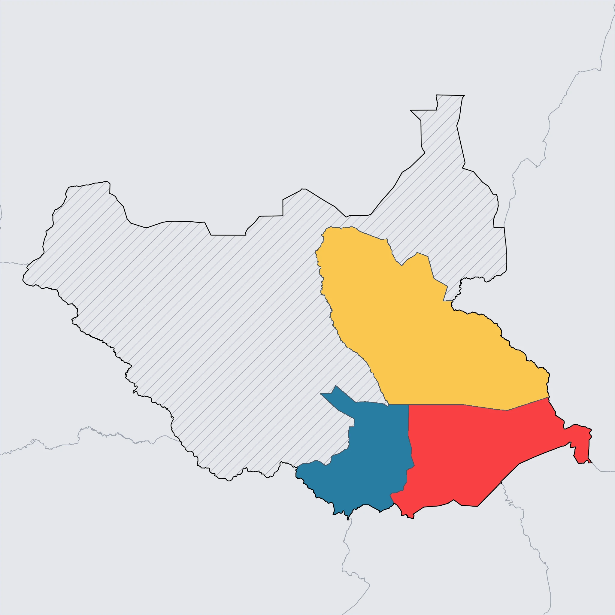
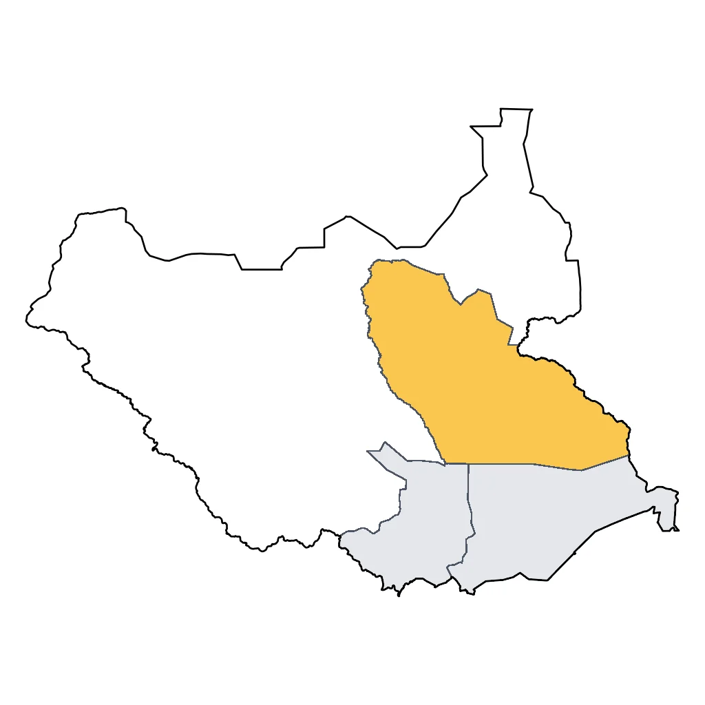
Eastern Highlands (Eastern Equatoria State)
Rugged peaks and ancient traditions ⛰️
⚠️ SAFETY WARNING: Due to ongoing armed conflict, banditry, and high risks of intercommunal violence, government agencies (including CA, USA, UK, AU, IE, and NZ) advise travelers to avoid all travel to this region. Border areas and roads are particularly dangerous, and emergency services are non-existent. Families are strongly urged to consult their own government's official travel advisory before considering a trip, as circumstances and risk assessments vary.
The Eastern Highlands presents some of South Sudan's most dramatic landscapes, contrasting sharply with the flat floodplains found elsewhere in the country. Dominated by the Imatong Mountains, which rise to the summit of Mount Kinyeti, the terrain shifts from dry savannah to lush montane forests. In a stable climate, these slopes would offer challenging hiking trails and opportunities to spot forest-dwelling bird species and primates that inhabit the dense vegetation.
Culturally, the region is defined by the resilience of its people, particularly around the town of Kapoeta. The Toposa people maintain a traditional pastoralist lifestyle, centering their daily rhythm on cattle herding. Their villages, comprised of mud and thatch tukuls, are historically significant to the area's identity. To the south, the Kidepo Valley connects ecologically with Uganda's Kidepo Valley National Park, forming a transboundary corridor for wildlife, although the infrastructure for viewing game on this side of the border remains undeveloped.
For families interested in geography, this state represents the ecological transition between the East African plateau and the Nile Basin. The weather tends to be cooler in the highlands compared to the sweltering heat of the plains. However, travel logistics are incredibly difficult; roads are often impassable during the rainy season, and accommodation options are limited to basic structures in main towns with no tourism-specific facilities currently operating.
Click a region to explore

Activities & Best Times

Hiking, wildlife, outdoor exploration, ecotourism
The Imatong Mountains offer unique Afromontane biodiversity and trekking opportunities to peaks like Mount Kinyeti for intrepid families. Peak dry months (Nov–Jan) offer the best trail accessibility and visibility; shoulder months are cooler but bring muddy conditions, while extreme heat in February and March (>37°C max) makes trekking strenuous.

Urban tourism, museums, historical sites, architecture
While lacking world-class urban infrastructure, the region offers highly authentic encounters with the traditional Lotuko and Acholi cultures. Peak months align with the dry season when remote villages are most accessible; travel becomes logistically difficult during the rainy shoulder season and physically taxing during the late-winter heat.

Learning experiences, scientific sites, historical education
A raw, exploratory destination for families interested in ethnography and montane ecology in an untouched environment. The dry season (Nov–Jan) provides the necessary stability for field-based learning, whereas the extreme heat of February and March limits the comfort and safety of outdoor educational activities.

Attractions (8 total)
Hiking & Cycling Routes
Mount Kinyeti Summit Trek
Katire
35km challenging 4-day trek to the highest peak in South Sudan at 3,187m with 2,180m elevation gain. The route features tropical rainforests, bamboo zones, and alpine meadows. No local bike or equipment rentals are available; hikers must be self-sufficient or hire logistics through Juba-based operators.
Visit website →National Park / Nature Reserve
Nimule National Park
Nimule
South Sudan's most accessible park, featuring boat safaris on the White Nile to see elephants, hippos, and the dramatic Fola Rapids.
Kidepo Valley Game Reserve
Kapoeta
A remote and wild savannah reserve contiguous with Uganda's Kidepo Valley, known for its unique wildlife including ostriches and cheetahs.
Imatong Mountains
Torit
A stunning mountain range housing Mount Kinyeti, the country's highest peak, offering lush montane forests and exceptional birdwatching for hiking enthusiasts.
Historic Town / Village / Cultural Area
Toposa Cultural Area
Kapoeta
The primary cultural hub of the region, where visitors can experience the traditional lifestyle, intricate architecture, and vibrant beadwork of the Toposa people.
Illieu Village
Torit
A historic Lotuko village featuring unique ancient stone-walled terraces and traditional architecture set against the scenic Imatong foothills.
Natural Feature / Scenic Site
Kidepo Game Reserve
Kapoeta
A vast and remote savanna wilderness on the border of Uganda, featuring dramatic mountain backdrops and a wealth of wildlife including giraffes and lions.
Mount Kinyeti
Torit
The highest peak in South Sudan, offering an adventurous hiking experience through lush montane forests and diverse bird habitats in the Imatong Mountains.