

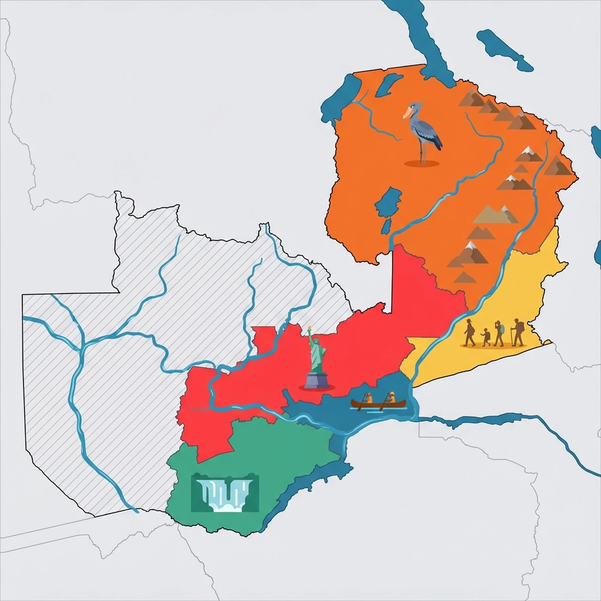
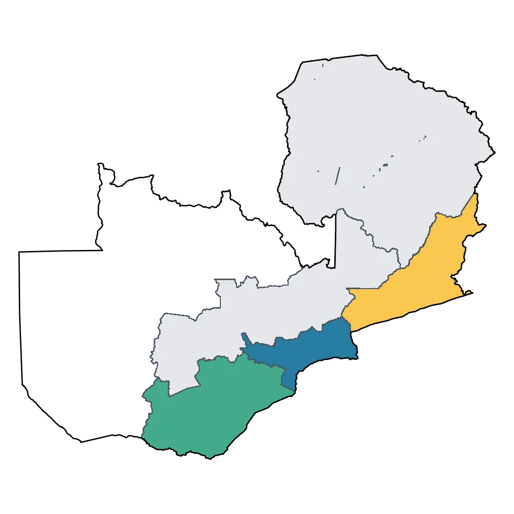
The Lower Zambezi National Park offers a distinct safari experience defined by the massive river that forms its southern boundary. Unlike the dense bush of other parks, the open floodplains and wide river channels here create a scenic, expansive atmosphere. The park sits between the rugged Zambezi Escarpment to the north and the river to the south, concentrating wildlife near the water, especially during the dry season (June to October). The climate is typical of the valley: hot, especially in October, but cooler and pleasant in the dry winter months.
For families, the highlight of the Lower Zambezi is the variety of activities. Standard game drives are available, but the real magic happens on the water. River safaris on stable pontoon boats allow children to safely watch hippos podding in the channels and elephants swimming across to islands—a sight rarely seen elsewhere. Fishing is another popular family activity; the river is famous for Tigerfish, and many lodges support catch-and-release fishing which can be a thrilling challenge for older kids. The park is also known for its high density of leopards and lions, often spotted lounging in the shade of mahogany trees.
Accommodation here tends towards the exclusive, with many lodges located just outside the park boundaries in the Chiawa Game Management Area or near the Chongwe River confluence. These camps often have family villas and specialized guides who can tailor activities to shorter attention spans. Some lodges offer 'bush buddy' programmes where children learn to identify tracks and droppings. Access is typically by light aircraft from Lusaka to Jeki or Royal airstrips, which is an adventure in itself, though road access is possible for the adventurous 4x4 family.
Because the park is unfenced, wildlife wanders freely through camp grounds. This requires vigilance, and parents must keep a close eye on children at all times. The remote nature of the Lower Zambezi means medical facilities are limited, so comprehensive travel insurance and a well-stocked medical kit are essential. The best time to visit is the dry season, as many camps close during the rains (December to March) due to impassable roads.
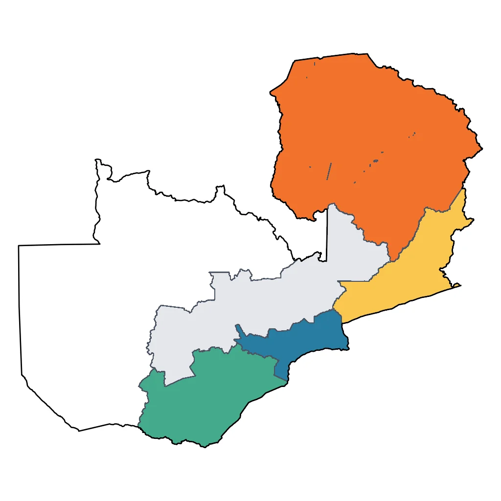
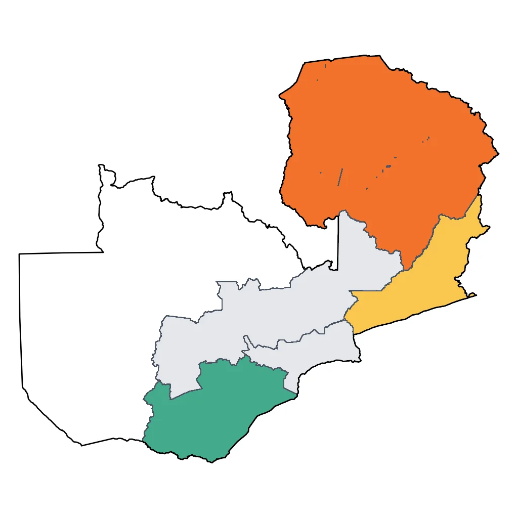
Click a region to explore

Activities & Best Times
Hiking, wildlife, outdoor exploration, ecotourism
A world-class wilderness offering unique river-based safaris and silent canoe expeditions among massive elephant herds and hippos. The dry winter months (Jun-Sep) provide optimal wildlife visibility and comfortable temperatures, while heavy summer rains (Dec-Mar) lead to many camp closures and difficult terrain.

Sport tourism, fitness activities, active recreation
Renowned internationally for world-class tiger fishing and expert-led paddling on the Zambezi River. Peak fishing occurs as water temperatures rise in the late dry season (Aug-Oct); however, the high water levels and torrential rain of the wet season (Jan-Mar) make these activities impractical.


Learning experiences, scientific sites, historical education
Provides profound ecological insights through some of Africa's most highly trained professional guides, focusing on riverine ecosystems and conservation. Educational value is highest during the dry season when wildlife behavior is concentrated and easily observed near water sources.

Spa retreats, wellness centers, peaceful getaways
Ultra-exclusive luxury lodges offer a sophisticated 'digital detox' with serene, world-class river views and deep tranquility. The cool, dry months (Jun-Aug) offer the most pleasant climate for outdoor relaxation, whereas the extreme heat of October and high humidity of the rainy season diminish the comfort level.
Attractions (11 total)
National Park / Nature Reserve
Lower Zambezi National Park
Chirundu
A pristine wilderness area where families can witness elephants and leopards roaming the floodplains against the stunning backdrop of the Zambezi River.
Visit website →Zambezi Escarpment
Chirundu
A dramatic mountain ridge providing a rugged northern border to the park and spectacular panoramic views of the entire Zambezi Valley floor.
Chongwe River
Chirundu
The scenic western boundary of the park, famous for offering gentle canoe safaris and frequent elephant sightings along its verdant banks.
Natural Feature / Scenic Site
The Zambezi River
Chirundu
The fourth-longest river in Africa, providing a stunning natural landmark and the primary corridor for boat and canoe excursions in the park.
Chongwe River Confluence
Lower Zambezi National Park
A picturesque natural meeting point where the Chongwe River flows into the Zambezi, known for its scenic beauty and high concentration of wildlife.
Winterthorn Forests
Lower Zambezi National Park
Enchanting groves of Faidherbia albida trees that create a unique cathedral-like canopy over the park's fertile floodplains.
Lower Zambezi Escarpment
Lower Zambezi National Park
A dramatic mountain range forming the northern boundary of the park, offering a rugged scenic backdrop to the Zambezi floodplains.
Road Trips & Scenic Drives
Munali Hills Pass (T2 Highway)
Lusaka
30km paved mountain pass (45 minutes) on the T2 Great North Road. A well-maintained two-lane tarred road descending through the Munali Hills. Known for sharp curves and expansive viewpoints looking out over the hazy horizons of the Zambezi Valley as the road approaches Chirundu.
Visit website →Leopards Hill Escarpment Drive
Lusaka
130km wilderness track (5-7 hours) crossing the Zambezi Escarpment. High-clearance 4WD is mandatory for this rugged, rocky route. Highlights include the Bat Caves, remote rural Zambian villages, and spectacular 1000m panoramic drops into the Lower Zambezi Valley floor.
Visit website →Lower Zambezi Valley Scenic Route (Chirundu to Chiawa)
Chirundu
Approximately 30km gravel road (part of the 100km route from Chirundu to park entrance) through the Chiawa Game Management Area. Road surface is graded dirt (4WD recommended). This classic safari transit route offers dramatic descents from the Zambezi Escarpment, elephant sightings along the road, and views of the wide Zambezi River.
Visit website →Landmark / Monument / Iconic Urban Attraction
The Zambezi Escarpment
Chirundu
An imposing mountain ridge that forms the northern boundary of the park, creating a dramatic backdrop for the Zambezi Valley's floodplains.